Remote Investigation Studio (RIS) : Digital site study on topography and floods in the urbanized high plains of Madagascar
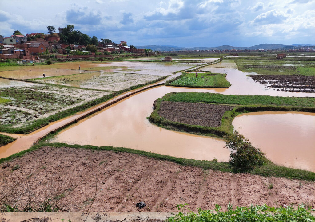
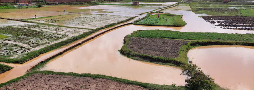
The capital Antananarivo is located in the Central Highlands of Madagascar. In the past, the Merina culture acquired expertise in handling water building dikes for flood protection and diverting water for irrigation, resulting in the establishment of rice cultivation in the plains. From the 1950s onwards, urbanization accelerated and the city progressively expanded into the rice-growing plain, disrupting the original rural system through mining for brick production and the extension of embankments reducing the water retention capacity.

Approach
Point cloud models document the site geometry, providing a deeper insight in the accumulation of morphological and cultural traces. Establishing observations through a site analysis helps designers to cultivate a relationship to the precise shape of the landscape. Informed choices for shaping the site can respond to the underlying morphology of the landscape, avoiding contradictory operations during subsequent design development. By inspecting the model, designers can understand how the current topography is arranged, in which direction the water flows or where it stagnates, and what the dominant characteristics of the site, such as steepness and elevation, are. The model also provides accurate information on the environment of the site, such as the composition and type of vegetation, the visual relationship of the site with its context, and the precise location of the infrastructure already existing in the field. A point cloud model of the study site southwest of Antananarivo, between Soavina and Anosizato, has been recorded with aerial and terrestrial laser scanning (ALS / TLS). The assembled model is accessible online via the link https://fcl-tana.ethz.ch/model.
Aim
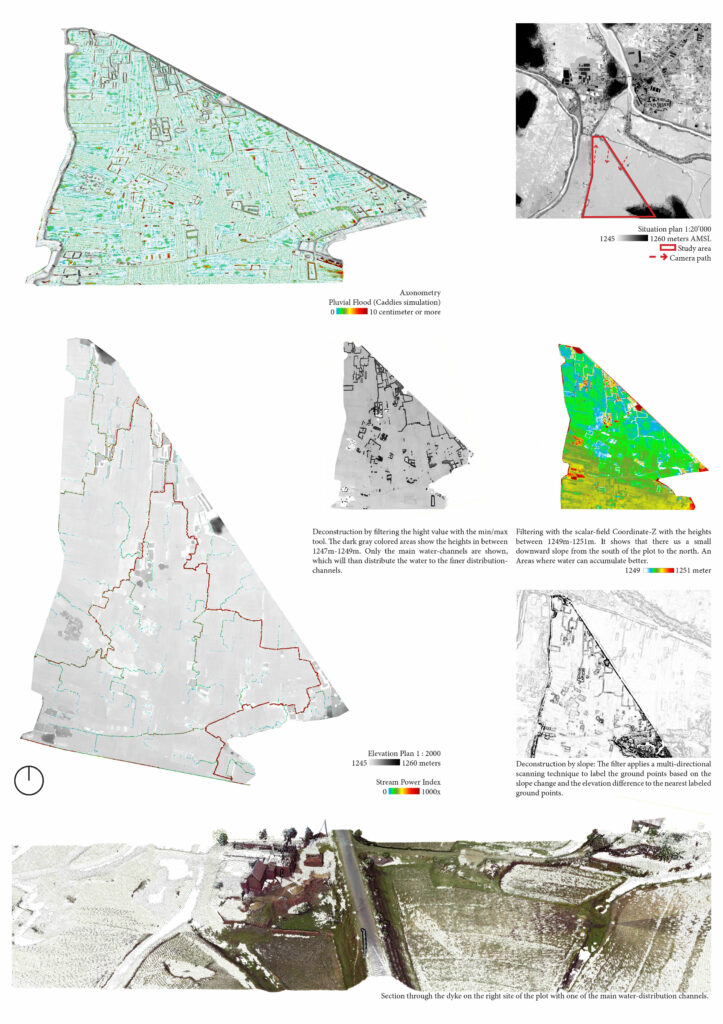
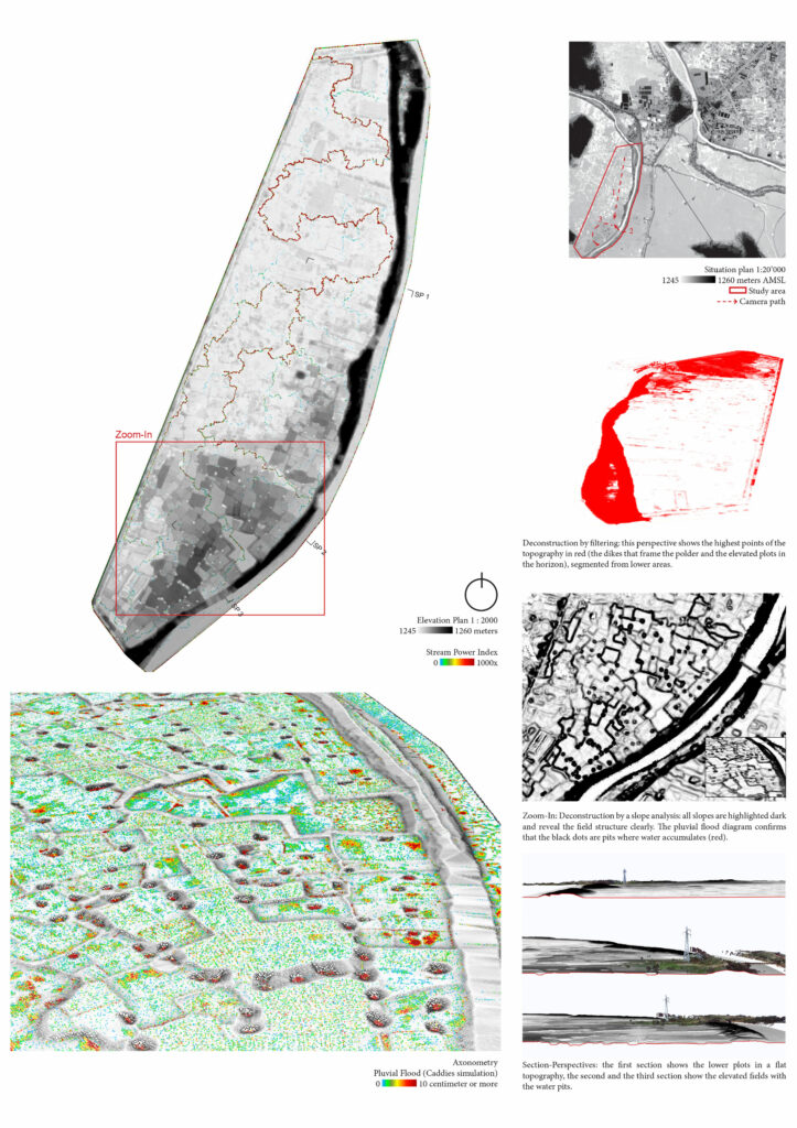
Prior to any design assignment, the formal and dynamic properties of a site must be studied to gain a better understanding about existing conditions. The case study site is subject to drought and floods, which makes the management of water a central issue to the urban population of Antananarivo. The preliminary study during this course shall address topics about : (1) Topographic features; (2) Water collection, distribution and drainage; (3) Material of the ground surfaces; (4) Landscape elements including settlements, infrastructure and vegetation. These topics will be presented by students using graphic and animated representations of the digital model and pluvial simulations.
A 2-minutes animation of the point cloud model explains the characteristics of the selected site. The animation needs to include “travelling-sections” which are a combination of cross sections in motion and elevations of the surrounding landscape seen beyond the section plane. The animation will explain the relationship between topography and floods. A series of perspectives arranged on an A1 board shall show the investigation of the selected site. A series of views from the same perspective should show the water level at different heights. A section and a plan are required to show the relationship between topography, settlement and vegetation.

Author: Beatrice Kiser

Author: Annabell Daverhuth

Author: Angela Stadelmann

